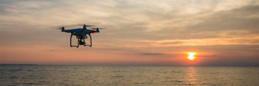
What we are able to do with our Mavic 3 Enterprise drone?
Measuring volumes on building sites and for aggregate owners/quarries traditionally use surveying tools and surveyors and can be a laborious and time-consuming process. However, utilising drones to carry out the task enables volumetric surveys to be completed quickly and with a lot more accuracy than traditional methods.
We now operate this RTK enabled drone which – aligned with a Ground Control Point – gives highly accurate measurement results from the air. We can accurately measure the volume of aggregate stockpile workflows and movement. We are able to take topographical surveys in a fraction of the time than has been previously possible, giving our clients greater control over their assets.
Engineering and construction companies across the world frequently monitor their stockpiles. Using a RTK drone will greatly improve the speed, accuracy and delivery of volume measuring stockpile data. Here at Flying Pix we offer daily, weekly and monthly surveys, enabling you to monitor and track your stock piles. Having reliable data to discuss with your subcontractors will give you additional firing power when it comes to negotiating with them – as an example – the removal of contaminated soil during groundwork operations.
Without photogrammetry software and RTK drone technology, we would be unable to measure and turn our aerial footage into data that can be processed and imported directly into a CAD system.
The photogrammetry that we use offers slightly different deliverables, however, they all offer topographical and measurement options. We can also create 3D rendered models that allow for (as well as the stockpile measurement) the degree and angles of slopes, and the depths of any trenches on site.
A Real Time Kinematic (RTK) drone doesn’t just capture images: it also automatically logs its precise position in space. As it does so it will correct the camera positions with up to two to three centimetres of accuracy, both horizontal and vertical.
So not only can we deliver survey grade accuracy but also survey and map large sites in a very short time. Stock reports (as the one I have attached) can be generated within hours of the visit so we are sure Flying Pix can save you both time and money.
Here’s an example
For More Information Speak with Carsten on 07989 888880 or email info@flyingpix.co.uk
Alternatively speak with Clipatrine (Cleo) Rademeyer at BBX on 01202 836064 or email Clipatrine.Rademeyer@bbxworld.com@bbxworld.com


